
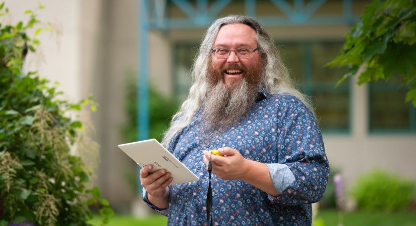
Q: What was your program and month/year of graduation.
A: The Advanced GIS Certificate, May 2019.
Q: What is your hometown?
A: Salmon Arm
Q: What brought you to OC over any other school? Why did you come to study here of all places?
A: I met the instructor in a social situation, and she told me about the program. She was knowledgeable and personable.
Q: Did you bring any other post-secondary education or training with you when you came into your program?
A: A Programmer Analyst diploma from a private institution.
Q: Overall, what was your OC experience like?
A: It was positive. The instructor was very attentive and made learning the GIS principles a joyous experience with the mix between hands-on practice and theory. The other students were equally motivated, which made the class a real pleasure to attend.
Q: Can you name one or two favourite moments or highlights from your time in your program? Feel free to elaborate.
A: The biggest highlight was my first map. Coming from a banking programming background, I had never built anything that gave the visual stimulation of that first map. As I was reviewing the colours and layout, I was struck by how informative the map was. That was when I realized I could create things that were both aesthetically pleasing and informative. Such a revelation!
Q: What did you like the most about your OC campus?
A: The grounds were always excellent. Crossing the courtyard and walking by the duck pond as well as all the trees and flowers really made an excellent start to the day.
Q: What did you like the most about your program/area of study?
A: The utility of it. From simple mapping of the local area to complex spatial analysis of the elements in an environment make GIS an invaluable tool. Since I graduated, I cannot recall a situation where the concepts and tools I learned are not applicable, at least in some manner.
Q: Tell us about an achievement you made in your program, big or small.
A: My biggest achievement was being able to utilize the maps I made during the first project to perform a more in-depth analysis for the second project.
Q: Since graduating, what have you been up to?
A: I have been working on developing a product related to analysis of local properties. Although that has been relegated to a hobby project, the knowledge gained was a lot more valuable than the money spent on the course.
Q: In your program at OC, did you have the chance to do a practicum, co-op or work as a student employee at the College?
A: The third, and final, project was for a municipal government organization.
Advanced GIS Certificate
Learn the basics of GIS systems, create maps and edit and manage GIS data. Learning project management, students have the opportunity to work on various projects, showcasing data collection, GIS analysis, network datasets and 3D data.
Prepare for your career
A blend of theory and practical application ensures the graduates are prepared to work in various employment opportunities in private industry, consulting, government, First Nations and Mining sectors.
Study in Salmon Arm
With an annual January intake, take this certificate program in the Shuswap region through a hybrid delivery, part online and part in-person.